

2.2 Building a GIS Vocabulary
2.2.3 Representing the World I: Standards
 |
Categories, Ontologies, Semantics
Before you can map anything, you have to decide what it is. Every time you put a name to a place, draw a boundary, or group things together, you’re engaging in the categorization and classification of things—processes that may seem objective, but in reality they are deeply interpretive, shaped by culture, language, power, and history and carry political and ethical weight. In GIS, this interpretive work is often structured through three interrelated layers:
- Categories: labels or types we assign to phenomena (e.g., cities, rivers, ruins, fortresses, monasteries, Indigenous territories).
- Ontologies: the assumptions we make about what exists and how it relates to other things. The underlying structures of meaning.
- Semantics: the meanings of the labels we develop, and how they may shift depending on historical context, cultural use, or institutional framework.
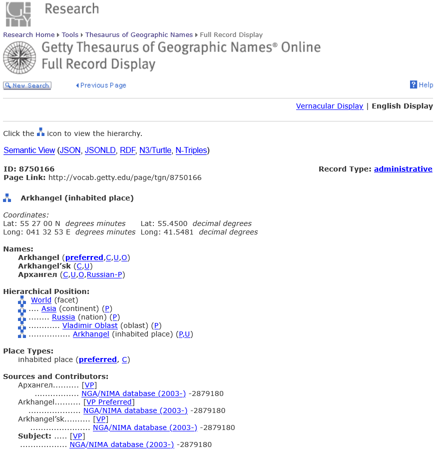 |
| Example of Getty's Thesaurus Geographic Names |
In many GIS workflows, you’ll use a number of established controlled vocabularies (standardized lists of place names, categories, or object types) to help develop the language you use. These vocabularies help maintain consistency across datasets, but they also bake in assumptions about what matters and how it’s named. One commonly used vocabulary is the Getty Thesaurus of Geographic Names (TGN), which provides multilingual, hierarchical place name data for current and historical locations. This might, however, be supplemented by other resources, such as historical gazetteers (e.g., the MoEML Gazetteer of Early Modern London, Pleiades, or the Digital Atlas of Roman and Medieval Civilization (DARMC)), text-derived place lists from the specific objects of analysis, and/or community-specific ontologies or local knowledges (e.g., Indigenous place names).
All of these supplement (and sometimes challenge) the controlled systems. One need not view such resources or decisions as mutually exclusive though. There is the capacity to provide multiple layers of information in order to better contextualize something like a particular place. A project mapping and analyzing Mary Shelly’s Frankenstein; or, the Modern Prometheus might use TGN to as the resource for determining the contemporary name of any particular location, the location name from the actual text for the way that Shelly referred to the location, and 18th century gazetteers or documents for the 18th century name of the location all at the same time. In such case, you might imagine a dataset that includes three separate location fields for one specific geographic local:
- loc_name_Shelley: Archangel
- loc_name_18c: Arkhangelsk
- loc-name_modern: Arkhangel
 Exercise: Why It Matters